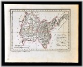
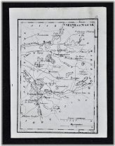
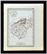
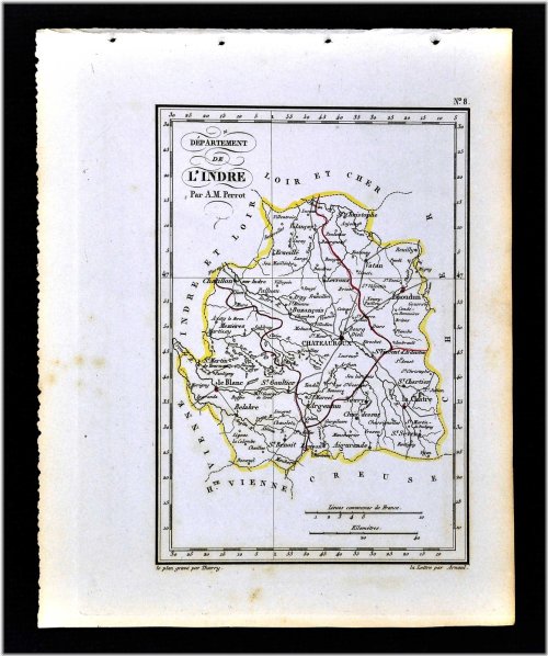
1833 Perrot Map - Seine et Marne - Meaux Melun Fontainebleau Provins - Francce
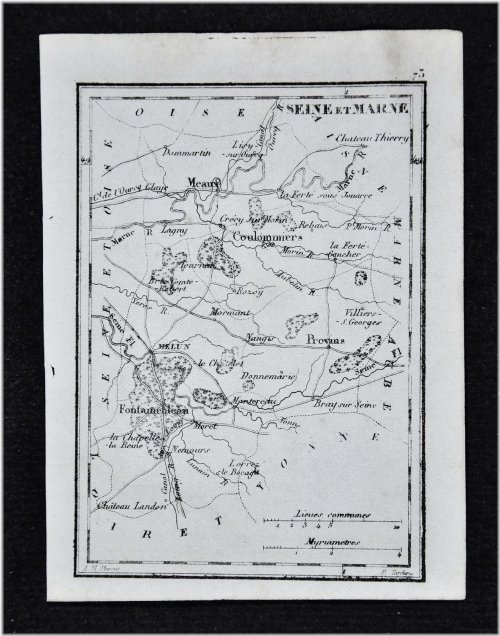
This vintage map, dating back to 1833, depicts the regions of Seine et Marne, Meaux, Melun, Fontainebleau, and Provins in France.
Published in the Atlas Portatif de France, this piece offers intricate details in a compact size. The map is being sold as a single sheet, unmounted and unmatted, showcasing its historical significance.
Despite its age, the map is in very good condition, with a…
1833 Perrot Map - Seine et Marne - Meaux Melun Fontainebleau Provins …
$9.99